The Kennedy District
Public Realm | Urban Infrastructure | Development Strategy


The Kennedy District is conceived as connective infrastructure within one of Chicago's most traveled and least hospitable corridors.
Union Station and Ogilvie Transportation Center anchor the corridor at its southern edge, with Fulton Market and its expanding residential and hospitality district defining the north. Greek Town, Old St. Patrick's Church, UIC, and the West Loop fill the edges between them, and nearly every major transit line in the city passes through or near this stretch. Hundreds of thousands of people move through the corridor daily. Almost none of them stop.


A single continuous deck was the first idea for the cap. The site argued against it.
The highway is not one condition. It runs through nine distinct parcels between Van Buren and Wayman, each with a different relationship to the neighborhood beside it, a different set of stakeholders, and a different scale of intervention that makes sense. The system reads less like a single park and more like a sequence of civic rooms strung along the corridor.

Each park is shaped by the neighborhood it faces, not by a single master plan applied uniformly across the site.
A transition park meets Greek Town at the south end. Family-oriented open space serves the school and daycare clusters near Old St. Patrick's. A central civic moment forms at Washington Street, where the highway sits cleanest and the deck is most viable, and a cultural and performing arts district anchors the north, drawing energy from Fulton Market. Together the nine parks form a system nearly double the scale of Millennium Park.
A park of this scale does not finance itself. The framework that pays for it is density.
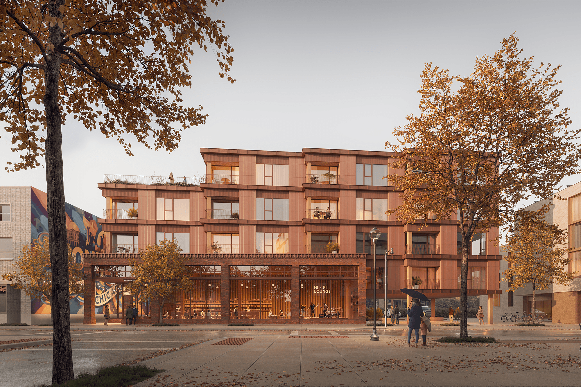
Every surface parking lot adjacent to the expressway is a development site waiting for a reason to build. The Presidential Towers alone represent over a thousand residential units with almost no meaningful open space nearby. New residential and mixed-use development, calibrated to the scale of each parcel, generates the tax increment, developer contributions, and amenity premiums that make the cap financially viable.


Chicago already has precedent for this kind of value creation in the 606, the Riverwalk, and Millennium Park itself.
Each of those projects transformed adjacent land values and drew development that would not have arrived otherwise. The Kennedy District applies the same logic at a larger scale, over active highway infrastructure, with a development argument built into the proposal from the start. Density and open space are not a tradeoff here. They are the equation that makes both possible.

Capping an active expressway is not simply an engineering challenge. It is a case that has to be built for a city that has never done this at this scale.
The corridor demands a structure capable of carrying nine distinct parks over live highway infrastructure, a phasing strategy that can be built parcel by parcel, and a financial model resilient enough to survive shifts in political and market conditions. These constraints shaped a proposal built on density logic and phased development rather than a single, undifferentiated gesture. The result is a framework aldermen, developers, and institutional funders can act on, not just a rendering.
The Kennedy District is one proposal for one corridor, but the logic behind it applies across Chicago's expressway system.
Large sections of I-290, the Dan Ryan, and the Kennedy further northwest also run below grade, and the combined acreage of potential caps citywide is significant. Several other Horizon Lines submissions proposed capping different stretches of Chicago's expressways, a convergence that suggests the city is ready for this conversation at a systems level.

The Kennedy District demonstrates how a development framework, not just a design concept, is what makes public space of this scale possible.
OAO contributed urban design, architecture, and development strategy to the proposal: the analysis of what the corridor can absorb in density and program, the building massing at the park edges, and the financial logic connecting open space investment to development yield. Hinterlands Landscape Architecture led the design, with the depth only a landscape-first practice brings. OAO's role was to ensure the architecture and development logic made that landscape possible, not just beautiful.
Related Research.
This project is informed by applied research in transit-oriented development, supporting housing density near transit while maintaining neighborhood continuity.

Next projects.
(2016-25©)